|
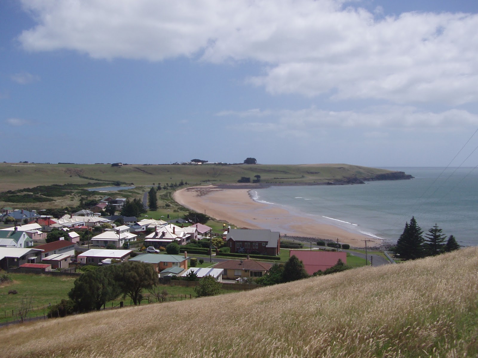
| Platypus Bay - Lake St Clair |
Arrived at beautiful Lake St Clair located at the southern end of the world famous Cradle Mountain-Lake St Clair National Park and is part of the
Tasmanian Wilderness World Heritage Area. Carved out by ice during several glaciations over the last two million years, this is the deepest lake in Australia (167m) and the headwaters of the Derwent River.
We set up camp in a nice spot near the lake, did some washing and had our first hot showers for several days :) and prepared ourselves for the Mt Rufus circuit (17 .6km circuit with a 7 km climb)
 |
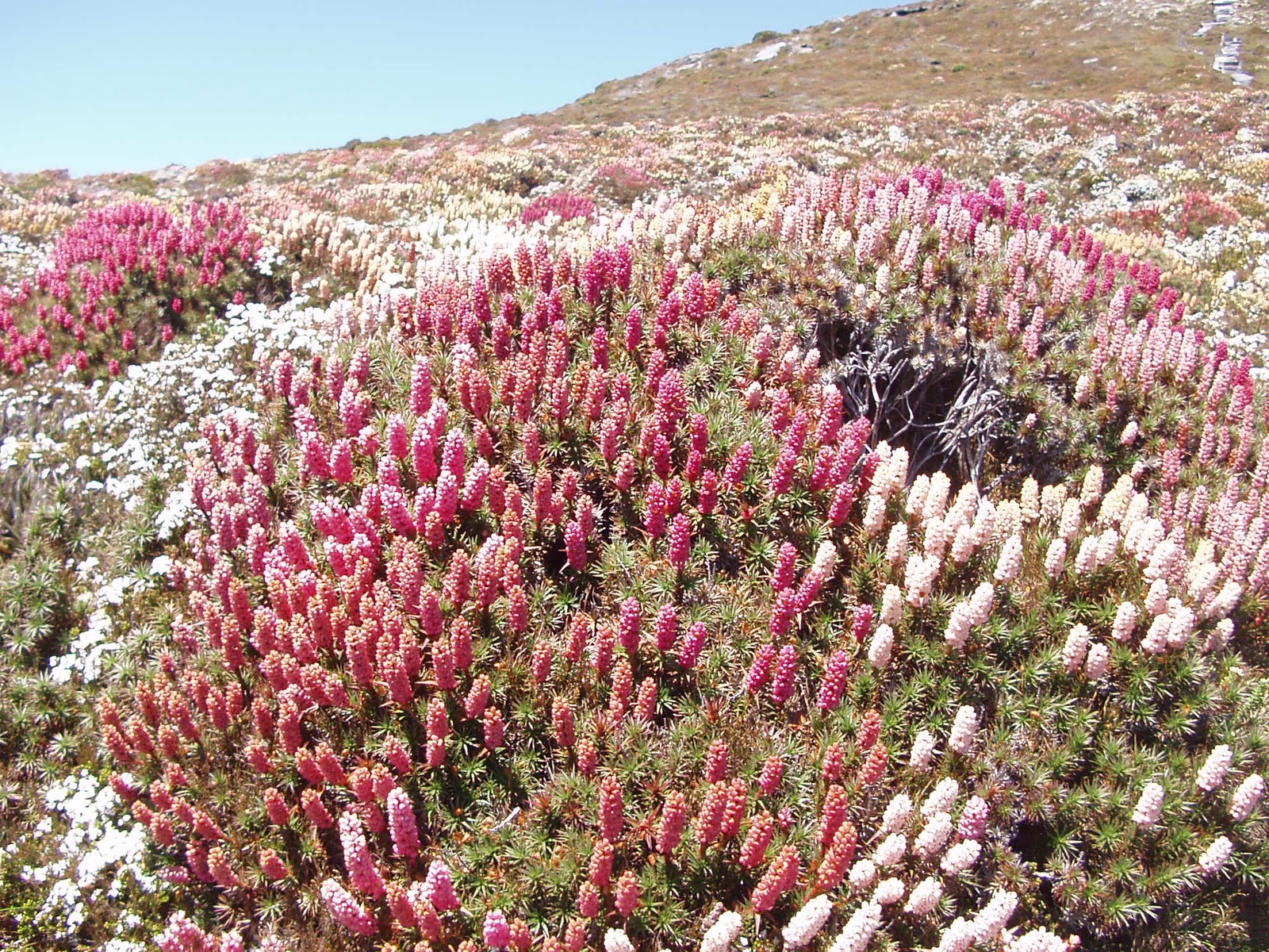
| View West from Mt Rufous |
We wake to a beautiful day pack and set off for Mt Rufus. As the altitude increases, vegetation changes from eucalypt forest to patches of cool temperate rainforest in the gullies. As you climb higher, the vegetation changes again to sub-alpine forest,
dominated by snow gums and stunted rainforest. Towards the summit, alpine plant communities dominate providing a colourful display of fragrant flowers.
Above Right: The view west from the summit. Lake Undine is in the foreground with Australia Tarn high to the left under the summit of Mt Gell. The wedge shaped peak above the tarn on the horizon is Frenchman's Cap
The views from the top are breath taking and extensive. In fact, according to the parks map, the ridge you walk up to the top of Mt Rufus is the boundary of the Cradle Mountain Lake St Clair National Park, and the Wild Rivers National Park. Just below the summit is an area of wind and rain sculptured sandstone around 300 million years old and once formed a continuous layer across most of Tasmania. About 165 million years ago magma intruded up through the sandstone to form dolerite, which covered the sandstone layer. Both layers have been eroded over time by wind, rain, snow and glacial action (see left).
 |
| Scoparia as far as you can see |
Below the saddle between Mt Rufus and Mt Hugel the track winds through Richea Valley, named for the pandani and scoparia plants that grow here. It's like walking into a life size 'Monet' landscape framed by crags and cliffs absolutely breath-taking (see right and below)
 |
| and again... |
 |
| Pandani |
 |
| Cushion plants |
Just couldn't help myself with the camera - I think I drive Rob mad - he's so patient!! But I think he is relieved when my battery finally dies as we wind our way down through the Pandani and lush Cushion Plants and back to our camp, blown away by the beauty of the day!
 |
| A very playful Spotted Quoll |
|
|
|
Just to top it off Rob cooks a roast chicken and vege camp oven, we share a rare bottle of wine and have a surprise visit from a cheeky spotted quoll who flit between our legs and played around our camp site.
 |
| I know there in there somewhere! |
Next day we decided to do a couple of shorter walks and enjoy the abundant wildlife. We head for platypus bay , saw a couple "canoodling" on the shore. The tourists weren't impressed!! We pass the 'Watersmeet' where the Hugel and Cuvier rivers join and flow into Lake St Clair.
 |
| Watersmeet |
We enjoyed ‘Larmairremener tabelti’ Aboriginal cultural walk.This walk contained a wide variety of vegetation, including banksias, buttongrass, tea-tree thickets, Tasmanian waratahs, rainforest ferns, and towering eucalypt stags.
 |
| Buttongrass |
 |
| Tea-tree flowers |
 |
| Banksia |
The long twilights here allow allowed for a rest before setting off to the old power station along the sandy banks of Lake St Clair again some beautiful scenery - my favourite being the gnarled old snow gums contrasting with the delicate and trigger plant flowers. Just loved this Park!!!
 |
| Banks of Lake St Clair |
 |
| ?? |
 |
| Snow Gum on the banks of Lake St Clair |
 |
| Banks of Lake St Clair |
 |
| ? |
 |
| Narrow leaf trigger plant |
 |
| Old Pump house |
 |
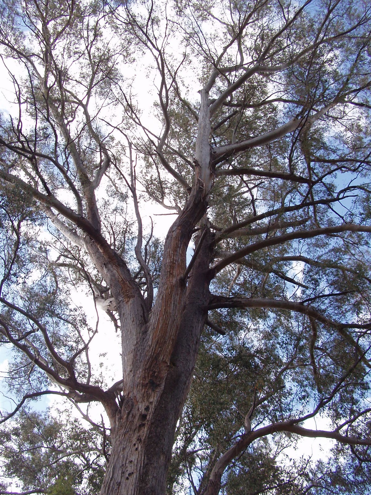
| Mighty Gums |