Tuesday, February 8, 2011

Cradle Mountain 27th - 29th January

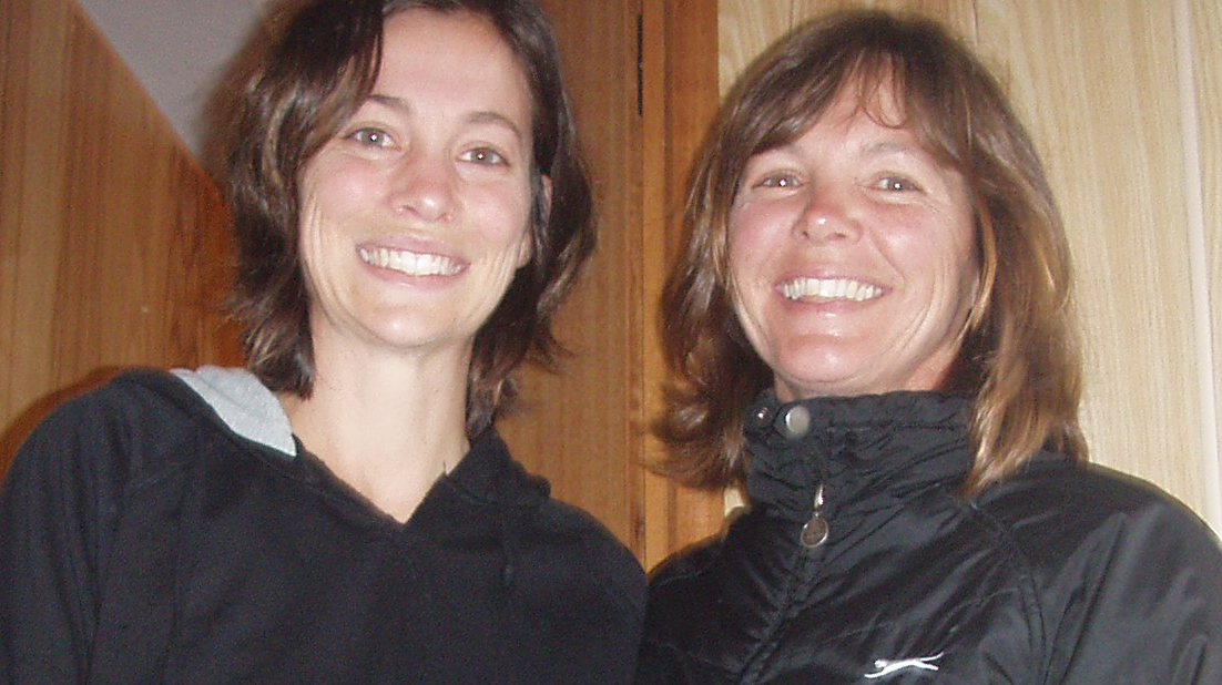
Anne & Rob at Dove Lake
We arrive at Cradle Mountain with driving rain and the temperature was 4° with a wind chill of 10 so it felt like -6° !  Visibility minimal.  Rob's turn to have a whinge - I wasn't having any of it so he rang a trusted friend to have a bit of de-brief.  I was determined to do the Summit and was prepared to stay in the area until we got a good day to do so.  It was freezing though and a down side to our set up is that unless you are in bed then you are out in the weather.  Thank goodness for the wonderful fire place and camp kitchen at our camp spot which made it so much more comfortable.
Dove Lake

Next morning the sun is shining ("How 'tin-arse' can this girl be"? - Rob's comment) absolutely beautiful day no wind - the best day they've had for months according to staff at the visitors centre.  We got away early with our packed lunch and water supply and headed for Cradle Mountain summit (1545m).  We started our hike from beautiful Dove Lake beneath the towering spires of Cradle Mountain and head for Marions Lookout a steep climb but the views were worth it!
Marions Lookout 
Anne nearing the summit
 Now for the summit climb; and what a climb!  I was wishing I had a few more inches as I dangled looking for foot holds as we pulled ourselves up over the rock face.  Now I know why rock climbers have those knee pads sewn in their trousers (my poor old knees and elbows had a few nice bruises by the end of the day). I don't like to skite (ohh OK maybe I do), it felt pretty good to be able to make the climb especially as so many turned back down the track.  A fellow climber who is into his rock climbing classed the climb as a grade 10 - I'm not sure what that means but you know you have worked believe me!
Made it!  (Barn Bluff behind)
The views were majestic and the country beautiful.  It's hard to believe but even at this altitude you look around and see glorious alpine plants poking through the granite boulders.

After some lunch at the top we decide to make the most of this perfect windless day and track back along the cliff face incorporate a couple of other walks on the way back - the Face Track and Lake Rodway via Hansons peak and the artist pools  a bit tricky in parts, especially towards the end of the day as we were pretty tired but well worth it!

Alpine Daisies
We passed by alpine lakes, cushion plants, alpine daisies, open forests, myrtle rainforests dripping with life and historic huts along the way. 
Arrived back exhausted had a late dinner and crashed.....

Next day we were both a little sore and decided to do some of the shorter walks Lake Lilla, Weindorfers Forest, Enchanted walk, and King Billy pine walk. By mid afternoon the wind had started and the clouds were starting to roll in so we decided to move on thrilled that we were fortunate enough to get such perfect days.....

Below are some of our favourite pics from our walks:

Historic Hut

Coral fern

Button Grass

Paper Daisy

Cradle Plateau

Flowering cushion plant


View from summit


Rocky Cape National Park, Wynyard, Hellyers Gorge 25 - 27th January

Creek at Sisters Beach
Moved down the coast to Rocky Cape National Park and the Wynyard area.  First impressions of Rocky Cape were impressive Aboriginal middens and caves, ship wrecks, rock formations turned sideways, beautiful hills running down to the sea and an incredible variety of flowering plants. The Giant Saw Banksia's were most impressive.
We had a bit of a look around and headed to Wynyard to stock up and return the next day. Camped at Oldine Conservation Park - nice place but unfortunately spoiled by some aggressive yobbos, fortunately they didn't target us!  Cooked a great camp oven!
Georgie, Leigh Dimity and Anne Sisters Beach

We spent Australia day with Dimity and Leigh who we'd met at Corinna.  Enjoyed a great Aussie BBQ with them and rel's Hutch, Georgie and Francis - a really lovely day - thanks for sharing your beautiful "Shack" with us and making us so welcome.

Table Cape Lookout
Poppy farm
We took a bit of a look around the area and of course more photos at Table Cape lookout (Wynyard in the foreground) and the Rocky Cape Light House.  We were surprised to see the Poppy fields - Opium poppies, grown for medicinal purposes, constitute a major source of income for farmers in the area.  We had no idea that Tasmania supplies about half of the world's medicinal opiate market!
Hellyer Gorge
I'm not sure if I've mentioned that the long Twilight's in Tasmania are fantastic for the traveler, you get to fit so much into a day with the light falling around 9pm so after a full day of exploring we set off to find a camp for the night and come across Hellyer's Gorge about 50km's from the coast - a great spot, nice and quiet and a good night's sleep.

Waratah
Next day after a forest walk and some relaxing reading we headed for Cradle Mountain National Park with a stop-off at Waratah, another depressed ex mining town, reminiscent of all the others on the West Coast.  When the mine closed, in 1935, it had produced 81,000 tonnes of tin and provided a dividend equal to £200 for every £1 initially invested.  At its peak the town, which now has only a few hundred residents, had a population in excess of 5,000.  Also a lot of "clear fell" plantation logging en route - this can't be healthy for the environment!
Clear Felling

Monday, January 24, 2011

Stanley 23rd -25th January

The Nut
Stanley is a quaint historic village and tourist destination. It is the main fishing port on the north-west coast of Tasmania. The most distinctive landmark in Stanley is The Nut, an old volcanic plug discovered by the explorers Bass and Flinders in 1798, who officially named it Circular Head. The nut rises to 143 metres with a flat top. It is possible to walk to the top of The Nut via a steep track but be careful you don't blow off!

Stanley Slipway below the nut
Apparently when the breakwater was being built in 1892 workers set off a  charge of 5000 pounds of dynamite but nothing happened.  Then 12 years later, the fractures caused by the blast finally gave way and 200,000 tons of rock suddenly crashed to the ground!

Historic Homes
It looks like businesses are doing it tough - although all well maintained every second one is for sale - the historic village is very well kept - but so many accommodation places - not sure a little village like this can support that.

Kristyn and Anne
Enjoyed a surprise visit from Tim Kristyn Kaia and Tilly on their way for a surf at Merriwa.

The wind has been pretty ferocious on the north west coast and we're looking forward to heading towards the Northern section of Cradle Mountain and away from the coast for a bit....
Stanley township
Long stretches of sandy beaches
Favourite pics from Stanley!

North West Coast 22nd - 23rd January

Savage River
Lindsay River
Left Corinna making use of the long twilight to check out Savage River with its huge log construction bridgeand then onto Lindsay River.  A surprised Tiger snake slid away from our path - a timely reminder to be on the lookout!

Couta Rocks
Next stop Couta Rocks - Plains of buttongrass rolling down to the sea, cray boats bobbing on the harbour - visions of Couta Rocks. Like the nearby Temma Harbour, Couta Rocks is noted for the place where the sea can rage. A not uncommon sight is that of the local fishermen winching their boats out of the water on slips rather than risk them on moorings. This stretch of coast is dubbed the roaring 40s, where prevailing gale-force winds blow persistently from the west.
Camp site near Temma

We decided to pull up at a great campsite near a clear flowing stream complete with trout near Temma for the night.   Next morning we called into Temma and walked around the harbour and village.  A pretty spot and the day has started well (no wind or rain). 
Temma Harbour
A road made over a huge midden
Beautiful rock pools
 Temma was once the port for the tin mining outpost of Balfour with a horse-drawn wooden tramway connecting the town and port. Today, it is an isolated harbour offering shelter from the wild seas. There are a few holiday homes and shacks as well as a few slipways that fishermen use to pull their boats up in bad weather. The locals tell me the harbour has a good quantity of Crayfish and Abalone as well as an abundance of Bull and She Kelp.
One of the biggest aboriginal Middens I've ever seen.
Temma Rock pools

Fishing Trawler- Temma


Cray pot


Beach at Temma Harbour


Arthur River


Called in and had a look at Arthur River another wild sea coastal town. The Arthur River runs through tall eucalypt forests and rainforests out to the sea.  The region has been exploited commercially for timber and fisheries, but today is mostly a centre for tourism.
Green Point

Marrawah's - Green point beach voted for one of the three best surfing beaches in Australia, is 2km from Marrawah there's a camping area right near the beach, but the weather had turned fairly nasty so we had a late lunch and moved towards Stanley. 

Dismal Swamp
Last stop before Stanley Dismal Swamp - the only known Blackwood forest in the world. Early last century its timber was used for making kegs and more recently was on a logging, clearing and draining list. Locals realised its importance and fought to preserve its destruction. In 1976 they had success.

Corinna - Tarkine 20th - 22nd January

White Bellied Sea Eagle - Pieman
Corinna is a historic mining town, set in pristine rainforest on the banks of the majestic Pieman River in western Tasmania.  It lies at the southern end of the Tarkine, (named after the Tarkiner people) and contains the largest temperate myrtle-beech rainforest in Australia. The Tarkine covers 450,000 hectares and is bounded by the coast to the west, Arthur River to the north, the Pieman River to the south and the Murchison Highway to the east.

Fatman Ferry
We crossed the Pieman River by ferry and found the place to be much more than we expected.   the Pieman is 108 km long and provides majestic and breathtaking beauty, spilling into the Southern Ocean on the at Pieman Heads (Hells Gate).  The ancient rainforest is something very special with Huon pines reaching over 2000 years old.

The old pub
The old mining village is rich in history. A number of the original original miner's cottages and hotel as well as new wilderness retreats (built in the original style) are available for guests as well as discreet camping options. A new pub has been built and is pretty reasonably priced considering the isolation.
Tarkine Pub
Walked up through the rainforest in the rain to Savage River - the mist added to the surreal feel and the majestic scenery. The forest was heady with the perfume from the leatherwood trees.

Huon Pine
Savage River


Leatherwood Flower
Rob at the Tarkine
Rob played at the Tarkine Pub which was fun - first time he'd asked in Tassie and the staff were more than happy to have someone entertain them (not a regular event) as well as the guests.  We were pretty spoilt and appreciated the enthusiasm.

The Pieman River
Next day we woke to perfect skies and took a trip on the Arcadia II down the Pieman to Pieman Heads.  Fantastic mirror images, Wedgetails, White-bellied sea eagles and ancient forest and Phil's commentary made the trip a very special event.  Thanks to Helen and Phil for looking after us..
Pieman - Mt Donaldson 
Pieman Heads


Arcadia II


Pieman Heads

Old Logs Pieman Heads